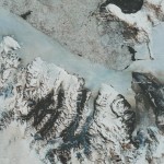
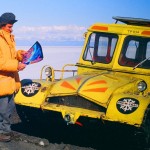
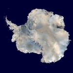
 Ice 01 – Antarctica – Mosiac of NOAA AVHRR Satellie Imagery of Antarctica, with NOAA, USGS & UK NRSC.
Picture Credit: NOAA
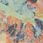 Ice 03 – Antarctica – Ross Island, McMurdo Snd- Ice Enhanced.
Picture Credit: ILT, DSIR(NZ), L&S(NZ)
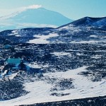 Ice 04 – Antractica – Arrival Heights Observatory, Ross Island, McMurdo Sound; Mt Erebus in Background.
Picture Credit: ILT & NZARP
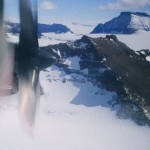 Ice 06 – Antarctica – Reviewing Ice Fields for Landing Sites against Sat Imagery amongst Mountains in Northern Victoria Land, from a C-130.
Picture Credit: ILT, NZARP, USARP, USAF
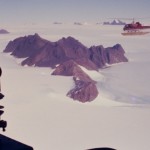 Ice 07 – Antarctica – Reviewing Land Ice Flows around Coastal Mountains, inland from Mawson, Antarctica.
Picture Credit: ILT & ANARE
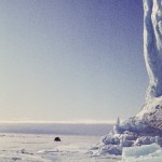 Ice 08 – Antarctica – Field checking Land & Sea Ice Edge, of Jelbart Glacier Antarctica, lifting through Sea Ice.
Picture Credit: ILT & Mark Forecast & ANARE
Click on each image to view a larger version.
